By RizenSoul
4/ 53 ratings 191 favoritesCreate objects and connect them with customizable, clickable curved and straight lines, easily adjusting the trajectory as needed.
13 assets from this publisher across the stores we track.
By RizenSoul
4/ 53 ratings 191 favoritesCreate objects and connect them with customizable, clickable curved and straight lines, easily adjusting the trajectory as needed.

By RizenSoul
98 favoritesInteractive world map with 243 countries, satellite and political views, offline mode, and automatic geo-data parsing for Unity.

By RizenSoul
81 favoritesOffline vector maps with 1-14 zoom levels. Includes 8 zoom levels in the local database. Move and create entities on the map.

By RizenSoul
74 favorites2D Terrain Deformation creates terrain deformation on collision with a simple script.

By RizenSoul
66 favoritesProcedurally creates 2D vector maps from JSON data for 233 countries, fully interactive and offline.

By RizenSoul
50 favoritesLite version of the world map asset containing only country borders and points without selectable countries.

By RizenSoul
26 favoritesVector Map (World Map - 2D) (Lite) shows borders and points. Customize colors, label size, and day/night. Works offline with 233 countries.

By RizenSoul
14 favoritesAccurate 3D model of the Earth with 241 countries and an ocean mesh.

By RizenSoul
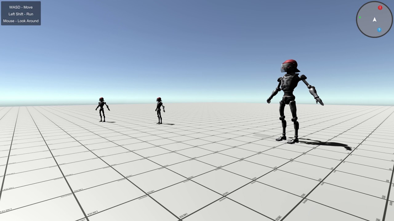
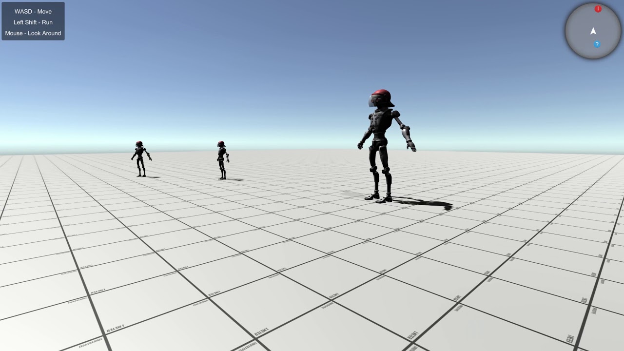
7 favoritesSimple and stylish minimap radar created from code without a second camera, featuring customizable icons.
By RizenSoul
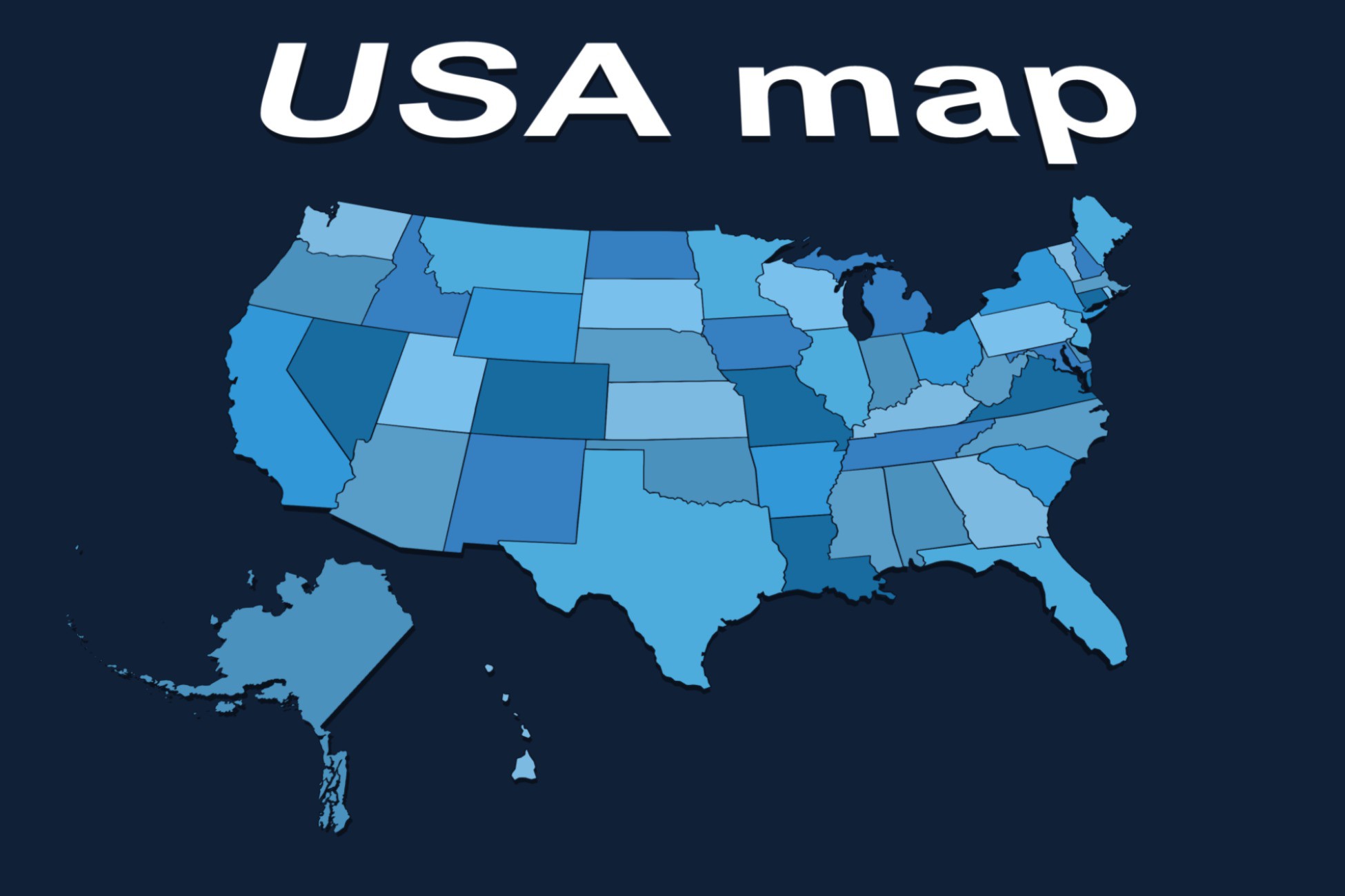
7 favoritesVector map of USA. All states are already built. Editable colors. Great solution for projects with infographics and strategy games!

By RizenSoul
1 favoritesVector map of India. 3D model of India for infographics and strategy games. Includes 37 states and territories as separate objects.

By RizenSoul
Standalone tool to parse MTW files and convert height matrices into PNG, JPG, or TIFF raster images.

By RizenSoul
Vector map of Russia with disputed territories. All regions are already built. Editable colors for infographics and strategy games.