
Screenshots and videos
 1 / 60



Price history
Lowest recorded standalone price: $80. Recorded observations span to . This is our available history, not a guaranteed all-time low. Bundle package prices are separate.
Standalone price
Last three months, in USD. Bundle prices cover the whole package.
About Hex Terrains Framework 2
- Tools, Systems & Learning > Development Tools & Automation
- Tools, Systems & Learning > Level & World Building
Hex Terrains Framework 2 is a high-performance hex-based terrain and world simulation system built on Unity DOTS (Entities 1.0, Jobs, Burst).
Designed for large-scale strategy, 4X, simulation, and sandbox games, it enables the creation of massive, interactive hex worlds with modular architecture, runtime editing, and efficient parallel processing.
This is not just a terrain renderer — it is a scalable, layered world system built for long-term production use.
Each Terrain is represented as a single ECS Entity composed of modular Terrain Layers.
A Terrain Layer encapsulates its own structured Data Layers (per-cell maps) along with the logic responsible for rendering them.
A Data Layer stores a value for every terrain cell (such as float, int, Vector3, etc.), and these values can be visualized in different ways.
For example, values from the Height Map and Biome Map are rendered as a chunk mesh, where the cell height corresponds to the Height Map value and the cell texture corresponds to the Biome Map value.
Another example is the Cell Object Index Map, which stores an integer value for each cell. Each value corresponds to a 3D object from an object palette, which is then rendered on the respective terrain cell.
This separation allows clean simulation design, high performance, and full extensibility.
Terrain Layer Systems
Chunk Mesh Layers
Procedurally generated mesh per chunk
Fully independent surface layers
Custom or built-in mesh generators
Designed for layered environmental rendering
Cell Region Layers
Assigns a Region index per cell
Caches cell indices per Region for fast queries
Tracks total cell count per Region
Automatically renders terrain using Region-based colors
Cell Minerals Layer
Assigns a Mineral Index and Minerals Amount per cell
Calculates a color map based on Minerals Color Palette, Mineral Index and Minerals Amount
Automatically renders terrain using Mineral-based colors
Cell Entity Layers
One ECS Entity per cell
Fully compatible with ECS workflows
Suitable for simulation-heavy gameplay systems
Cell Object Layers
Lightweight static visual objects per cell
Optimized alternative to ECS Entities
Designed to support millions of objects per terrain
GeoPlast Layers
Volumetric environmental simulation per cell, supporting:
Amount
Density
Volume
Heat
Temperature
Features:
Layer stacking (Water above Ground, Air above Water, Clouds above Air, etc.)
Horizontal material flow (Ocean currents, cloud movement, lava, pollution, etc.)
Vertical flow between layers
This enables emergent environmental behavior driven by simulation rather than scripted effects.
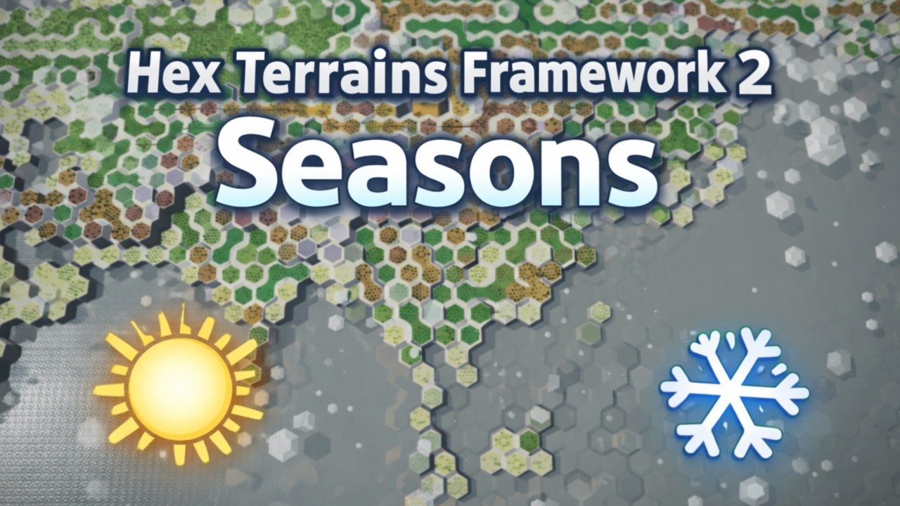
Sun Layer
A dynamic heat source that moves across the terrain.
Configurable as a circular zone or directional line
Heats nearby cells and cools distant ones
Acts as the primary energy driver for climate simulation
The Sun Layer interacts with GeoPlast systems to produce natural weather cycles, freezing, melting, evaporation, precipitation, and heat-based material flow.
Core Features
Runtime Terrain Editing
Modular extendable in-game terrain editor. Allows to edit all the data on the terrain
Brush-based editing (size, opacity, stamping, sampling, auto-paint)
Real-time feedback
In-game UI Toolkit editor
Dynamic Terrain Creation
Create terrains at runtime
Custom dimensions, terrain settings, and resolution
Regenerate or resize without restarting
Modular Terrain Layer Architecture
Create custom Terrain Layers composed of Data Maps such as height, biomes, regions, resources, entities, or custom gameplay values.
Each Data Layer:
Is self-contained
Uses per-chunk dirty flag tracking
Supports job-safe dependency management
Is architecturally separated from rendering
Highly Optimized Mesh Generation
Burst-compiled jobs
Chunk-based rebuild system
Minimal allocations
Extendable with custom generators
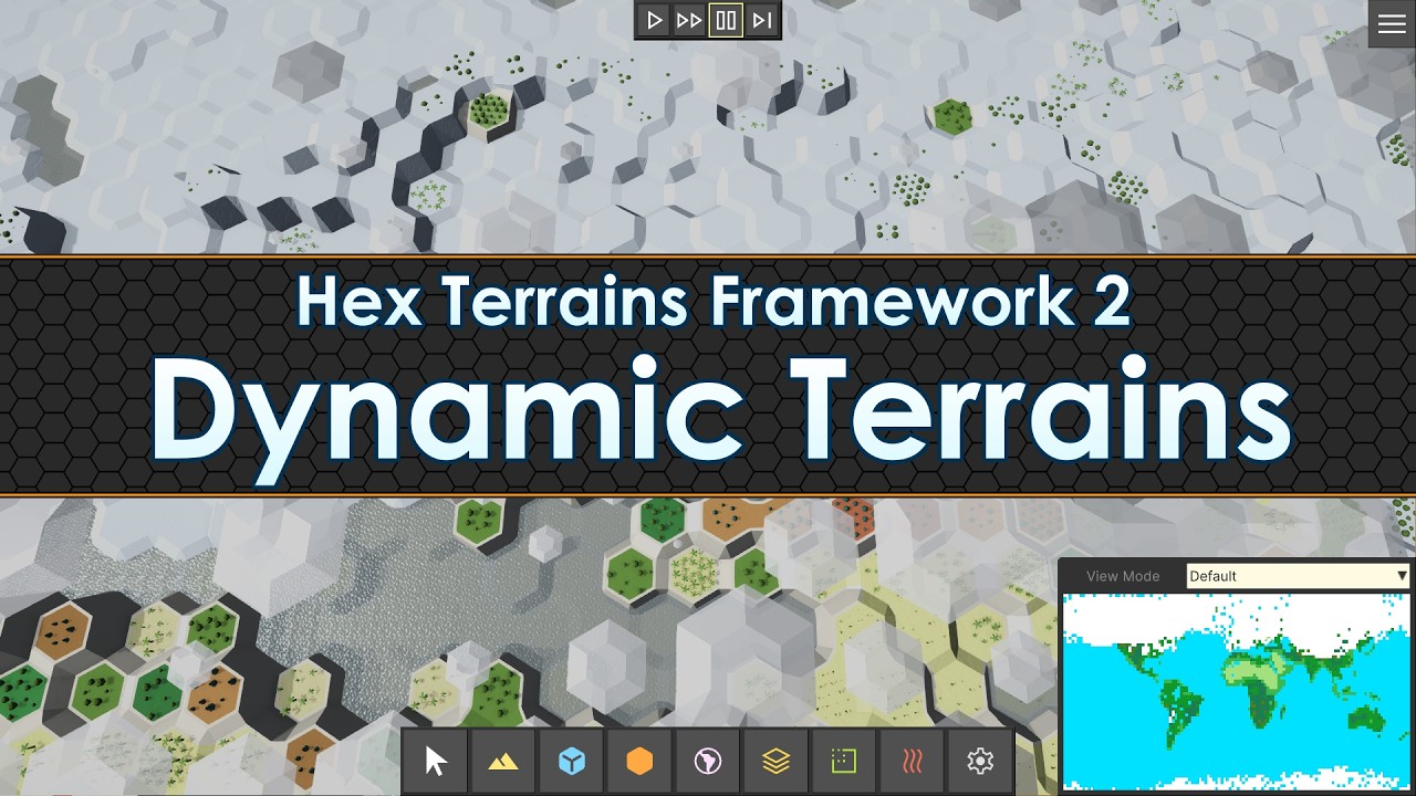
Minimap with Viewport Sync
Real-time rendering of any data layer
Click-to-center navigation
Camera position indicator
Save / Load Support
Modular binary serialization
Saves full terrain state
Includes all layers and runtime modifications
Wraparound Map Support
Horizontal and vertical edge wrapping
Seamless camera traversal
Suitable for globe-style or Civilization-like maps
Performance by Default
Designed with scalability as a core principle — you only pay performance cost for the features you actually use.
Feature-driven architecture ensures no unnecessary systems run in the background
Mesh regeneration is limited to modified and visible chunks only
Parallelized calculations powered by Burst-compiled jobs
Optimized for large-scale terrains
Performance tested in standalone builds on terrains up to 300+ FPS on 4096×2048 (8,388,608 cells) static terrain (without simulation) with 5 layers (hardware-dependent).
Ideal For
4X and Strategy Games
Simulation and Economy Games
City Builders
Custom World Editors
ECS Learning Projects
Games that require fully interactive hex terrain with high performance
Included
Full source code (C# + DOTS)
Demo project with HDRP and URP samples
In-game terrain editor with sample tools
Procedural brushes and auto-painting systems
Modular, extendable UI framework
Designed for large-scale strategy, 4X, simulation, and sandbox games, it enables the creation of massive, interactive hex worlds with modular architecture, runtime editing, and efficient parallel processing.
This is not just a terrain renderer — it is a scalable, layered world system built for long-term production use.
Each Terrain is represented as a single ECS Entity composed of modular Terrain Layers.
A Terrain Layer encapsulates its own structured Data Layers (per-cell maps) along with the logic responsible for rendering them.
A Data Layer stores a value for every terrain cell (such as float, int, Vector3, etc.), and these values can be visualized in different ways.
For example, values from the Height Map and Biome Map are rendered as a chunk mesh, where the cell height corresponds to the Height Map value and the cell texture corresponds to the Biome Map value.
Another example is the Cell Object Index Map, which stores an integer value for each cell. Each value corresponds to a 3D object from an object palette, which is then rendered on the respective terrain cell.
This separation allows clean simulation design, high performance, and full extensibility.
Terrain Layer Systems
Chunk Mesh Layers
Procedurally generated mesh per chunk
Fully independent surface layers
Custom or built-in mesh generators
Designed for layered environmental rendering
Cell Region Layers
Assigns a Region index per cell
Caches cell indices per Region for fast queries
Tracks total cell count per Region
Automatically renders terrain using Region-based colors
Cell Minerals Layer
Assigns a Mineral Index and Minerals Amount per cell
Calculates a color map based on Minerals Color Palette, Mineral Index and Minerals Amount
Automatically renders terrain using Mineral-based colors
Cell Entity Layers
One ECS Entity per cell
Fully compatible with ECS workflows
Suitable for simulation-heavy gameplay systems
Cell Object Layers
Lightweight static visual objects per cell
Optimized alternative to ECS Entities
Designed to support millions of objects per terrain
GeoPlast Layers
Volumetric environmental simulation per cell, supporting:
Amount
Density
Volume
Heat
Temperature
Features:
Layer stacking (Water above Ground, Air above Water, Clouds above Air, etc.)
Horizontal material flow (Ocean currents, cloud movement, lava, pollution, etc.)
Vertical flow between layers
This enables emergent environmental behavior driven by simulation rather than scripted effects.
Sun Layer
A dynamic heat source that moves across the terrain.
Configurable as a circular zone or directional line
Heats nearby cells and cools distant ones
Acts as the primary energy driver for climate simulation
The Sun Layer interacts with GeoPlast systems to produce natural weather cycles, freezing, melting, evaporation, precipitation, and heat-based material flow.
Core Features
Runtime Terrain Editing
Modular extendable in-game terrain editor. Allows to edit all the data on the terrain
Brush-based editing (size, opacity, stamping, sampling, auto-paint)
Real-time feedback
In-game UI Toolkit editor
Dynamic Terrain Creation
Create terrains at runtime
Custom dimensions, terrain settings, and resolution
Regenerate or resize without restarting
Modular Terrain Layer Architecture
Create custom Terrain Layers composed of Data Maps such as height, biomes, regions, resources, entities, or custom gameplay values.
Each Data Layer:
Is self-contained
Uses per-chunk dirty flag tracking
Supports job-safe dependency management
Is architecturally separated from rendering
Highly Optimized Mesh Generation
Burst-compiled jobs
Chunk-based rebuild system
Minimal allocations
Extendable with custom generators
Minimap with Viewport Sync
Real-time rendering of any data layer
Click-to-center navigation
Camera position indicator
Save / Load Support
Modular binary serialization
Saves full terrain state
Includes all layers and runtime modifications
Wraparound Map Support
Horizontal and vertical edge wrapping
Seamless camera traversal
Suitable for globe-style or Civilization-like maps
Performance by Default
Designed with scalability as a core principle — you only pay performance cost for the features you actually use.
Feature-driven architecture ensures no unnecessary systems run in the background
Mesh regeneration is limited to modified and visible chunks only
Parallelized calculations powered by Burst-compiled jobs
Optimized for large-scale terrains
Performance tested in standalone builds on terrains up to 300+ FPS on 4096×2048 (8,388,608 cells) static terrain (without simulation) with 5 layers (hardware-dependent).
Ideal For
4X and Strategy Games
Simulation and Economy Games
City Builders
Custom World Editors
ECS Learning Projects
Games that require fully interactive hex terrain with high performance
Included
Full source code (C# + DOTS)
Demo project with HDRP and URP samples
In-game terrain editor with sample tools
Procedural brushes and auto-painting systems
Modular, extendable UI framework